Maps

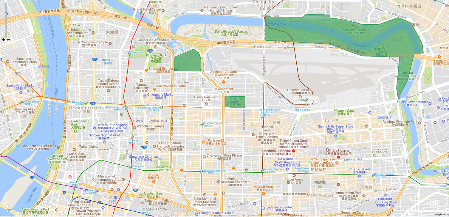
AggreGate has a powerful map component that is designed to display devices, assets, as well as their paths and relationship on multi-layer geographical, satellite or hybrid maps.
Combining maps with other widget components is a way for building fleet management, asset tracking and other advanced solutions based on geolocation.
Maps are compatible with a number of tiled GIS sources:
- Google Maps
- Bing Maps
- OpenStreetMap
- Yandex Maps
- 2GIS
- And more
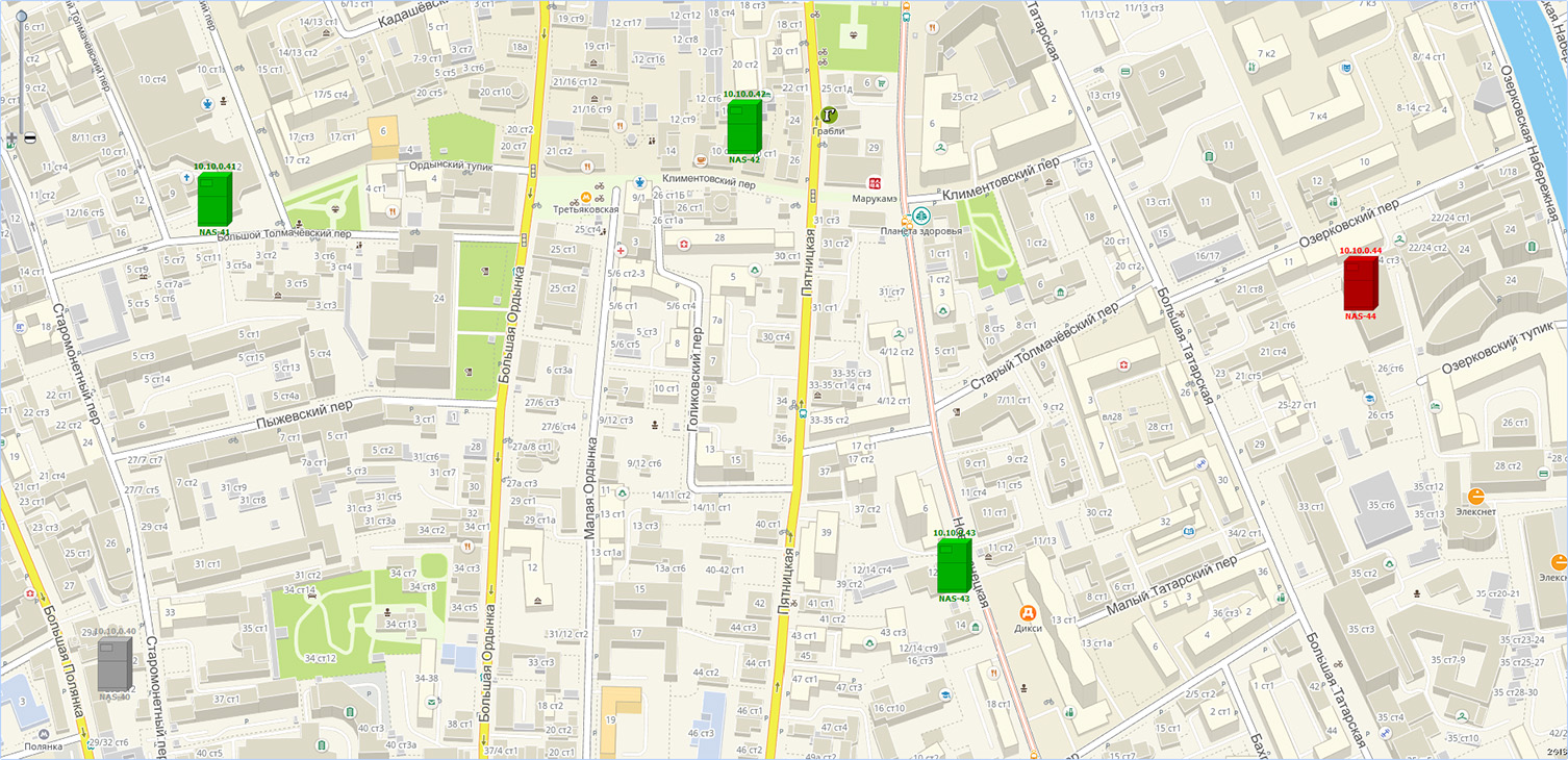
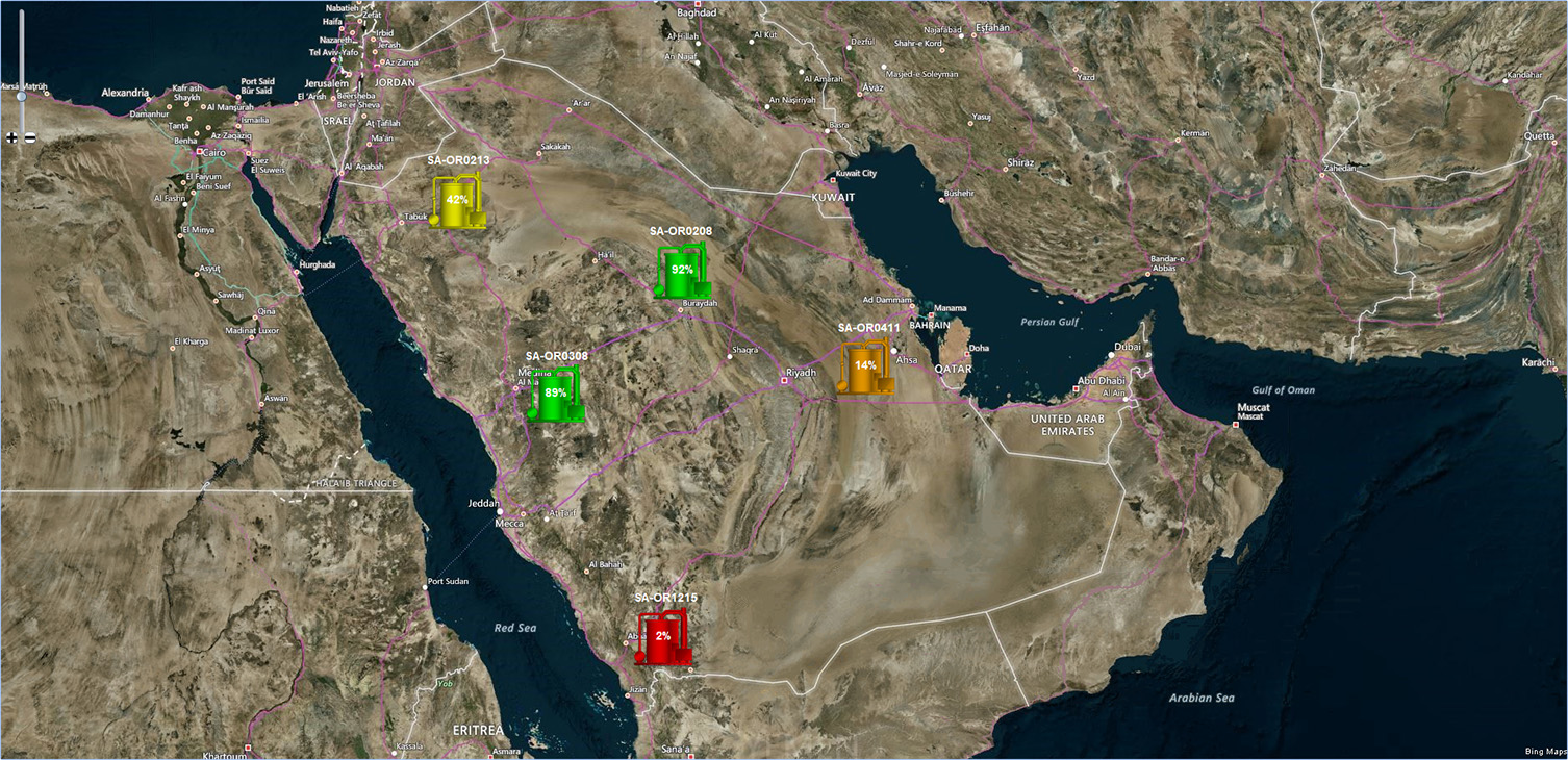

Mapping module supports many advanced features typical for present-day asset tracking and fleet management systems:
| Interactive mouse zooming and panning | Device paths visualization |
| Offline operation via file-based map tile storage | Device topology visualization, e.g. device-to-device links |
| Automatic area adjustment and zoom level detection | Dynamic expression-based device colors, labels, icons, and more |
| Geolocation, e.g. automatic area adjustment to cover a specified physical region (city, country, river, etc.) | Geofencing support |
| Click-through to device-specific and asset-specific dashboards | Standard interaction with other visual components within a widget for visual designing of custom map control panels |